Helicopter Geophysical Survey

Helicopter Surveys
New-Sense Geophysics specializes in helicopter geophysical surveys in mountainous and high altitude terrain. Our innovative stinger-mounted magnetometer systems, which are certified by TC (Transport Canada), FAA (USA Federal Aviation Administration), and EASA (European Union Aviation Safety Agency), reshapes the landscape of airborne geophysical exploration.
Key Advantages:
- Ultra-High Resolution Surveys:
- Line Spacing as Tight as 25 Meters: Elevate your surveying capabilities with ultra-high-resolution data. Helicopter magnetic surveys allow line spacing as tight as 25 meters, offering unparalleled detail in moderate to challenging terrains.
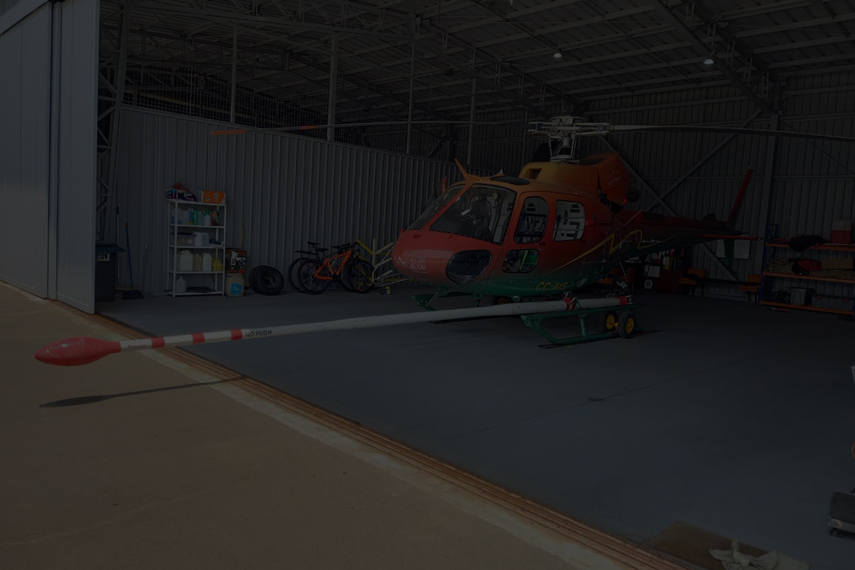
- Certified STC Stinger System:
- Safety and Regulatory Approval: New-Sense introduces a newly designed, low noise stinger system. Our STC-certified stinger system ensures safety, regulatory compliance, and eliminates the need for traditional “towed bird systems,” creating a safer survey environment.
- Versatility Across Helicopter Platforms:
- Certified for Various Helicopter Models: The STC-certified stinger system is compatible with a wide array of helicopter platforms, including but not limited to:
- Bell 206B “Jet Ranger” Series
- Bell 206L “Long Ranger” Series
- Eurocopter Astar 350B Series
- Eurocopter/Aerospatiale SA-315 “LAMA”
- Robinson R44 Series (Clipper I, Clipper II, Raven I, Raven II)
- Certified for Various Helicopter Models: The STC-certified stinger system is compatible with a wide array of helicopter platforms, including but not limited to:
Surveying Excellence:
- More Accurate Target Positioning:
- Achieve precision like never before. Our helicopter geophysical surveys provide more accurate target positioning for enhanced exploration outcomes.
- High Performance in Challenging Terrain:
- Navigate challenging terrains with ease. Our helicopter magnetic surveys excel in regions where towed array/boom methods may fall short.
- Detailed Definition of Structure and Small Sources:
- Uncover intricate geological structures and small sources with a level of detail unparalleled in airborne surveys.
- Enhanced Definition of Complex Structures:
- Capture the complexity of structures with enhanced resolution, providing comprehensive insights into geological formations.
- Stable Platform for Low-Noise Recording:
- Our stinger system acts as a stable platform, facilitating low-noise recording and data compensation to monitor and remove platform-induced noise.
- Lightweight Solution for Rugged and Mountainous Terrain:
- Our helicopter geophysical surveys are tailored for rugged and mountainous terrains, offering a lightweight solution without compromising data quality.
- High Data Sampling Rate:
- Experience the advantage of a high data sampling rate, ensuring comprehensive and detailed data collection.