Laser Altimeter

Laser Altimeter
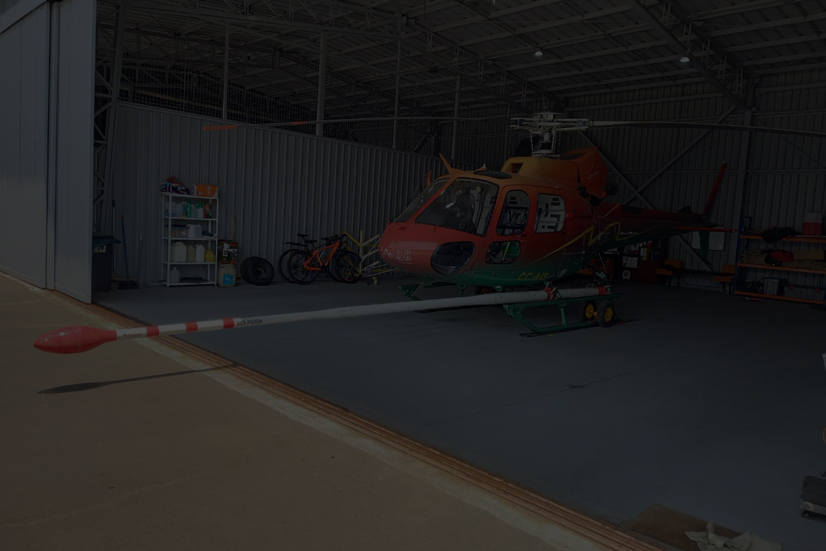
New-Sense Geophysics uses the Universal Laser Sensor (ULS) from Laser Technology Inc. This cutting-edge laser altimeter ensures precise flight height monitoring on both our helicopter and fixed-wing survey platforms.
Key Features of New-Sense Geophysics’ ULS Laser Altimeter:
- Scattering-Resilient Technology: In terrains where radar signals may encounter scattering effects, such as sandy landscapes, the ULS laser altimeter serves as a powerful complement. By running this sensor in parallel with our primary radar altimeter, we enhance the reliability of altitude measurements across diverse survey conditions.
- Fully Programmable Pulsed-Laser Sensor: The ULS stands out as a fully programmable pulsed-laser sensor, offering versatile operational modes to achieve accurate results under any survey condition.
- Exceptional Accuracy: In our standard configuration, the ULS laser altimeter delivers an impressive accuracy of +/- 6 cm. This remarkable precision ensures that our altitude measurements meet the highest standards, facilitating reliable data acquisition in geophysical surveys.
- Parallel Mounting with TRA-3500 Radar Altimeter: The ULS operates in conjunction with the TRA-3500 radar altimeter, with both sensors mounted side by side. This strategic arrangement enables simultaneous altitude measurement, offering redundancy and ensuring consistent and reliable data collection.
Experience the Height of Precision with New-Sense Geophysics: New-Sense Geophysics redefines the boundaries of precision in geophysical surveys by incorporating the ULS laser altimeter.